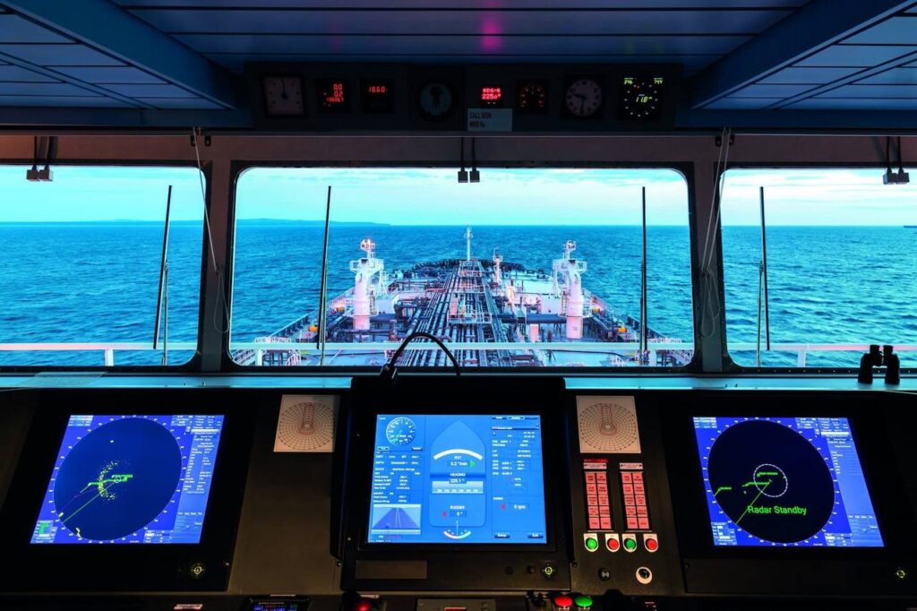
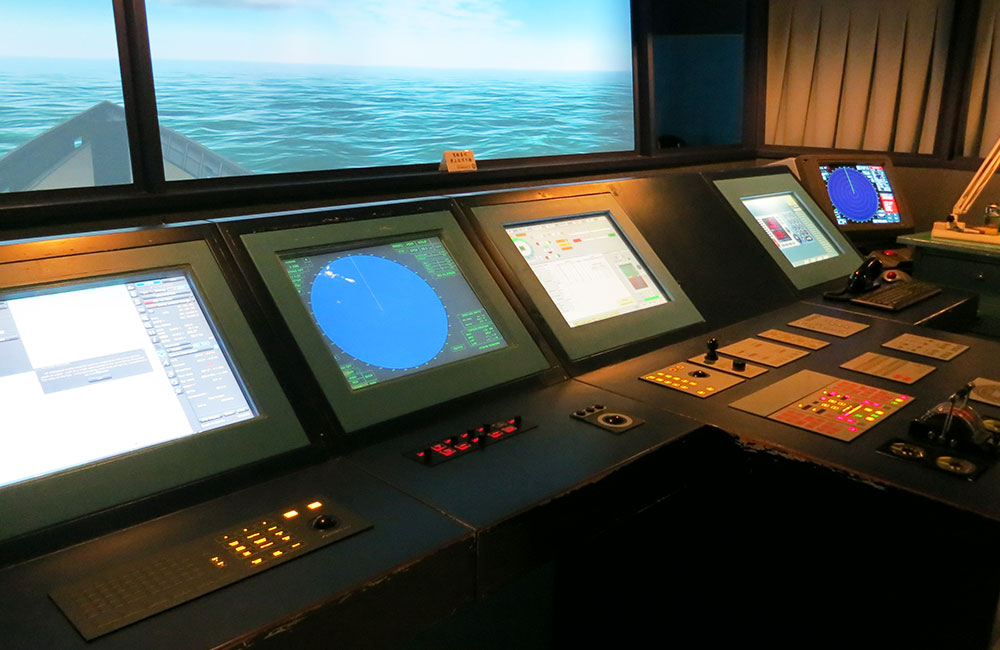
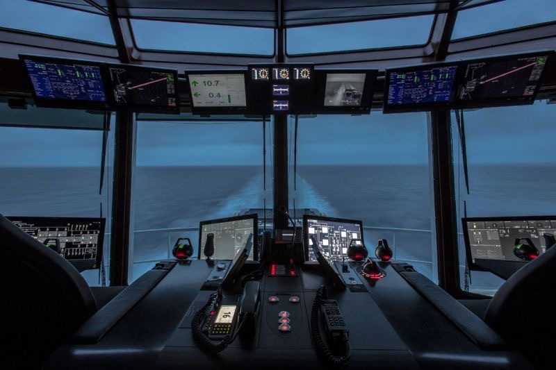
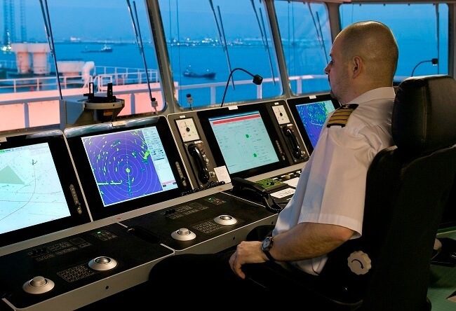
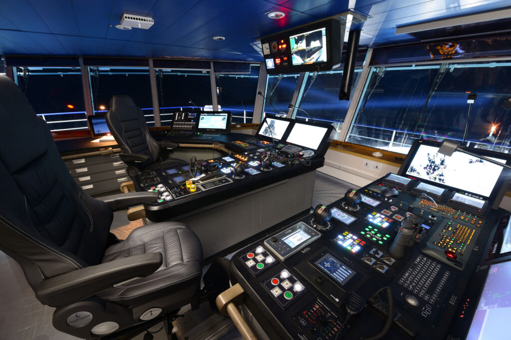
We offer an innovative device that allows you to replace up to 23 types of navigation equipment, reduce costs and improve the efficiency of maritime transportation. The marine navigation control unit on Nexfire-188 Model 0326465-188 works on the basis of artificial intelligence and performs many functions — from radar and echo sounder, to compass, radar and steering.
Price: € 28 000
Functions
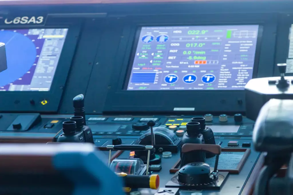
Gyro Compass
Helps the skipper navigate the sea and bring the ship to the right port. The gyrocompass is superior to the magnetic compass due to the lack of additional error from magnetic fields. Each ship must have a gyrocompass course repeater at the ship’s control points.
Radar
Naval vessels depend on S-Band and X-Band radars, as such radars detect any targets around the vessel, which is useful in bad or foggy weather. With the help of radar, you can see a ship, land, island, yacht, navigation buoys.
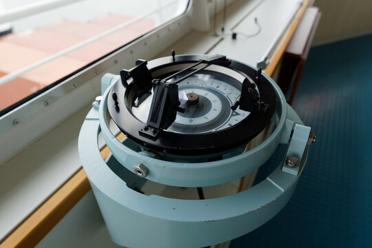
Magnetic Compass
The magnetic compass works by interacting with the earth’s magnetic field and its main task is to show the direction of movement of the vessel, that is, the course. This navigation device is installed in the center of the direction finding deck, and its indicators are broadcast on the navigation bridge.
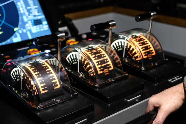
Autopilot
There is a lot of navigation equipment on the bridge, but one of the most useful is the steering wheel. Its main task is to keep the set gyrocompass course, and if the gyrocompass is faulty, you can switch to a less accurate magnetic compass. With the help of an autorouter, the officer on the bridge has enough time to assess the situation around the ship and react correctly in a timely manner if necessary.
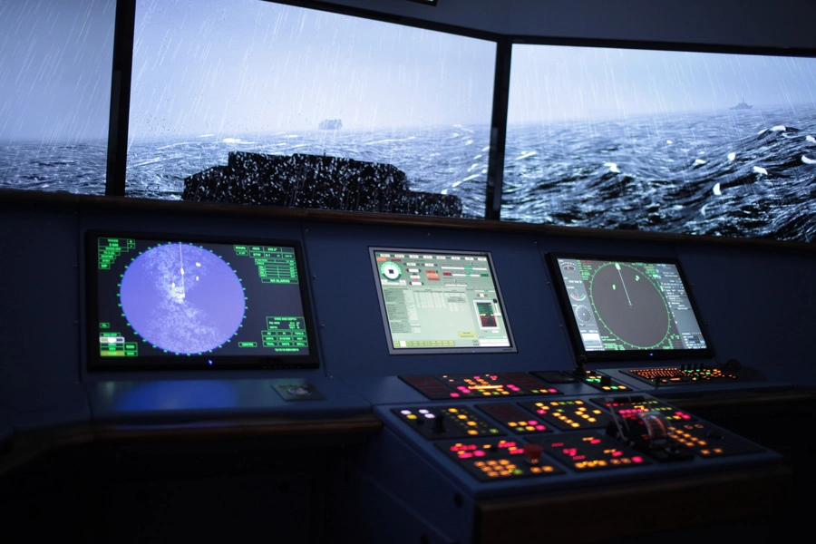
Automatic Radar Plotting Aid
This navigation device automatically captures all moving objects on the radar, such as ships, yachts, buoys, etc., and shows their speed and course using a vector. If necessary, you can find out more detailed information about the goal by clicking on the goal we need.
Automatic Tracking Aid
Just like ARPA, the auto-tracking device shows information on the tracked target in graphical and digital format. Helps the officer of the watch to safely disperse from the target.
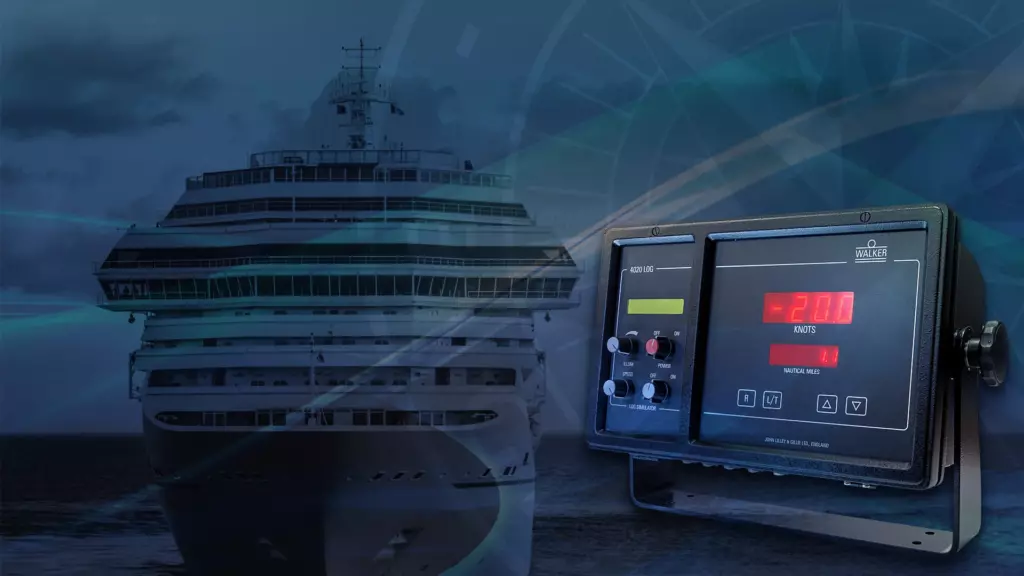
Speed and Distance Log Device
This navigation device measures the speed and distance traveled by the vessel from a given point. With it, you can calculate the arrival of a ship at the port, as well as transfer this information to the authorities of the port of arrival or to an agent.
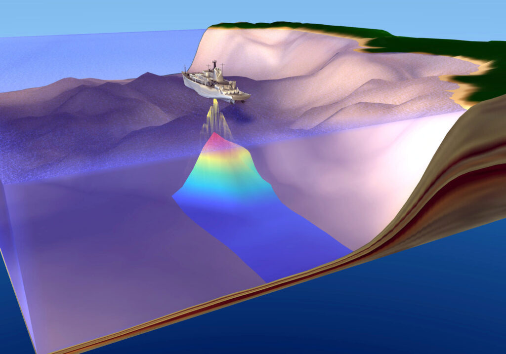
Echo sounder
There are a huge number of modern and new devices on board the ship, but the echo sounder is one of the oldest devices, which is more than 100 years old. It is used to measure the depth under the ship by giving an audible pulse, which bounces off the bottom and returns back to the source.
ECDIS
ECDIS is an electronic navigation system that combines all paper maps of the world. It is used on all ships of the world, allowing the navigation officer to plan the route many times faster.
AIS
AIS is one of the ship’s navigation devices, which helps to identify the location of the nearest ships, as well as their data, which allows the officer of the watch to timely, for example, find out the name of the ship he wants to contact by radio.
LRIT system
LRIT is an international vessel tracking and identification system. She is on ships over 300 GRT. Improves ship tracking from shore.
Rudder Angle Indicator
As the name says, it indicates the steering angle. It is located in several places on the bridge, and this is near the steering wheel, on the wings of the bridge and in the engine room.
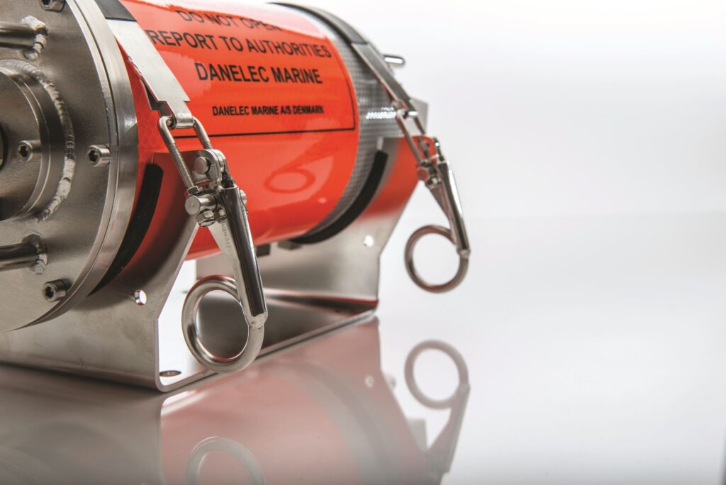
Voyage data Recorder
It is a kind of black box for a ship. An extremely important device of the ship’s navigation equipment, which constantly records all the necessary information for the future investigation of an emergency on the ship. There are many types of data loggers, but they all provide data for the last 12-24 hours before an emergency.
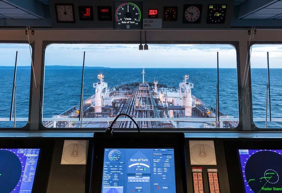
Rate Of Turn
This navigation equipment shows how fast the ship turns with a fixed rudder angle. It is measured in angles per minute.
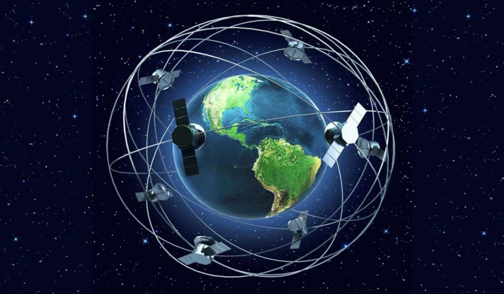
GPS/DGPS receiver
In other words, a global positioning system. Allows you to find out the exact location of the vessel. With the help of this device, the watch assistant can find out the coordinates of the vessel’s location, speed, course and time to overcome the distance between two specified points.
Are you interested in our product?
Send us a message and we will get back to you as soon as possible.